
Get the field in front of the office while it still matters.
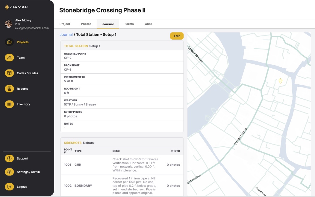
ZiaMap is the hub for site operations: GPS-tagged photos and structured site notes, synced from the site to the office in real time. Inspections, infrastructure, and site conditions, tied to the project.
Built for the way site work happens.
Inspections, infrastructure, and site visits, captured on the phone in your hand and organized by project.
Site inspections
Photo, location, time, and inspector on every observation, ready for the report with no transcription step.
Infrastructure
Bridge, culvert, and roadway condition documentation tied to the asset and the project.
Site conditions
Existing conditions, changes, and issues captured where they happened, in one project record.
See what site admin costs your firm in a year.
Return trips, photo admin, and the office rebuilding context the field already had. Put in your numbers and see the total. No signup to see it.
The office has the site visit in real time.
No more camera-roll photos, notes in a field book, and email threads the office stitches together later. When the crew has signal, every photo and note syncs to the office, organized by project.
Site documentation, answered.
Most still rely on camera-roll photos, field-book notes, and email threads the office stitches together later. ZiaMap captures the photo, location, time, and inspector in one record, organized by project, so the office has the site visit in real time.
Yes. Bridge, culvert, and roadway condition documentation ties to the asset and the project. Capture the condition with a GPS-tagged photo and a structured note, ready for the report with no transcription step.
No. ZiaMap works alongside the tools your firm already runs: Trimble, Carlson, AutoCAD, Esri, Procore, and your data collectors. Your instruments capture coordinates, your office software drafts, and ZiaMap captures everything in between.
Yes. Crews capture everything offline. Photos and notes hold on the device and sync the moment a signal comes back.
Yes. Both see the same data in the same project, updated in real time. One record, every person, no version chase.
Yes. Per-firm pricing, no enterprise contracts, no six-figure onboarding, and nothing to learn that does not help in the field.
Get the field in front of the office. We set it up with you.
$399 a month for your firm, up to 20 people. We set up your first live job with your team.